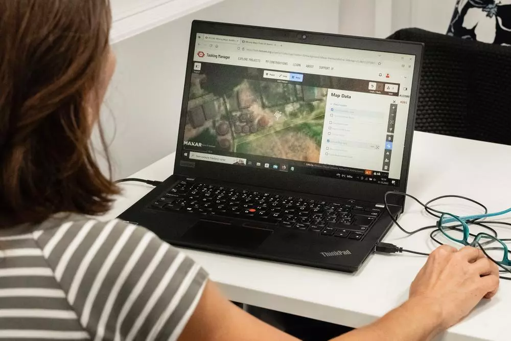
A mapathon involves mapping terrain in a certain region, tracing roads, waterways or building outlines. Czech Republic, 2022 © MSF
With proper maps, our surveyors could easily navigate to villages and selected households, making the work much easier and quicker.Theresa Berthold, Project Coordinator
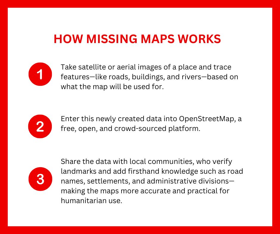

A screenshot from one of Doctors Without Borders' Missing Maps projects in Indonesia. © MSF
Stopping Ebola and measles in their tracks
With a mapathon, both beginners and expert-level mappers can help deliver aid to isolated communities. In Doctors Without Borders, there are numerous examples showing just how critical maps are in relief operations.
During West Africa’s 2014 Ebola outbreak, the lack of maps for certain affected areas severely hampered efforts to contain the virus.
To address this, Doctors Without Borders deployed a Geographic Information System (GIS) officer to Sierra Leone. Mapping the affected areas proved crucial for treating the disease, preventing its spread, and ensuring quarantined patients had access to food, water, and healthcare.
In 2018, a measles outbreak in the Republic of Chad raged for months, peaking in January 2019. Most cases were concentrated in N’Djamena, the capital, and Am Timan, in the southeast. Stopping the outbreak required a much wider vaccination and awareness campaign.
In over four weeks, volunteers mapped 34,120 buildings in Am Timan, producing a detailed map of the city and surrounding areas — key to the Doctors Without Borders response.

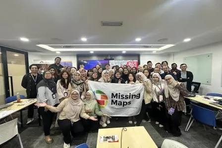
Doctors Without Borders staff explained the Missing Maps activity to participants at the Mapathon 2025 event in Malaysia. Missing Maps volunteers have previously helped Doctors Without Borders reach malnourished people in South Sudan and tackle malaria in Chad. Malaysia, 2025 © Xing-Tong Tan/MSF
Missing Maps mapathon in Malaysia
In August 2025, Doctors Without Borders organised two “Missing Maps” mapathons in Malaysia, partnering with the QBE foundation and Soka International School. The initiative aimed to raise awareness and mobilize volunteers to map vulnerable communities that remain invisible to traditional mapping tools.
Together, 43 QBE staff members and 55 students mapped 6,172 houses, potentially enhancing access to aid for over 6,000 communities and families.
A clearer path toward humanitarian aid
With properly mapped information, humanitarian organisations can plan risk reduction campaigns and disaster response operations more effectively.
“Having proper maps really made a big difference in using our time and resources more efficiently,” said Theresa Berthold, project coordinator for Doctors Without Borders’ Chad Emergency Response Unit. “We could plan according to the confirmed locations of villages and draw up our schedule accordingly. With proper maps, our surveyors could easily navigate to villages and selected households, making the work much easier and quicker.”