E-Hub: Data management during disasters and humanitarian crisis

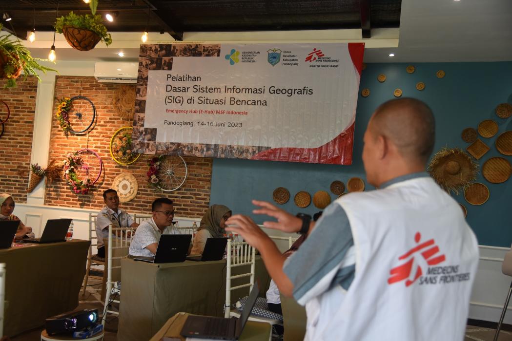
GIS and data Management are vital in emergencies, like disasters or outbreaks. They swiftly process location data, aiding responders in making quick, informed decisions. © MSF
Indonesia is a country with diverse natural beauty, culture and wildlife; however, due to its location on the Ring of Fire, it is also subject to the risk of various natural disasters such as earthquakes, tsunamis, volcanic eruptions, forest fires and floods, not to mention the risk of epidemics. It is therefore important for all parties to increase their capacity to be always prepared and alert in the event of any disaster.
Doctors Without Borders / Médecins Sans Frontières (MSF), an independent international medical humanitarian organisation, is implementing a project in cooperation with the Indonesian Ministry of Health, called Emergency Hub or E-Hub Project. Launched in December 2022 and started in January 2023, the E-Hub project is to provide emergency response capacity building to increase community resilience, preparedness and capacity to professionally manage emergencies in Indonesia.
Doctors Without Borders actively provides trainings related to four areas of emergency response, such as health care, mental health and psychosocial support, environmental health and data management.
The important role of data in responding emergencies
Managing data effectively and efficiently during an emergency is essential because accurate data helps decision-makers to plan and act quickly, which can save lives.
Therefore, good information management is about collecting existing data and processing, visualising and explaining it quickly. This is necessary so that those involved can use it well to respond to disasters on the ground or make effective decisions.
Combining technology and experience for more inclusive training
Training in emergency data management helps to enable emergency responders to effectively identify, understand and direct medical support to where it is most needed. Practical materials must be adapted to each regional context, considering the unique topographical conditions of Indonesian regions and the different areas vulnerable to disasters.
For example, earthquake-prone regions such as the city of Padang, which is more vulnerable to flooding, will require different training materials than disaster management in Jakarta city. Furthermore, the technology used must be adapted to the capabilities and equipment possessed by disaster response actors, while still meeting disaster management standards.

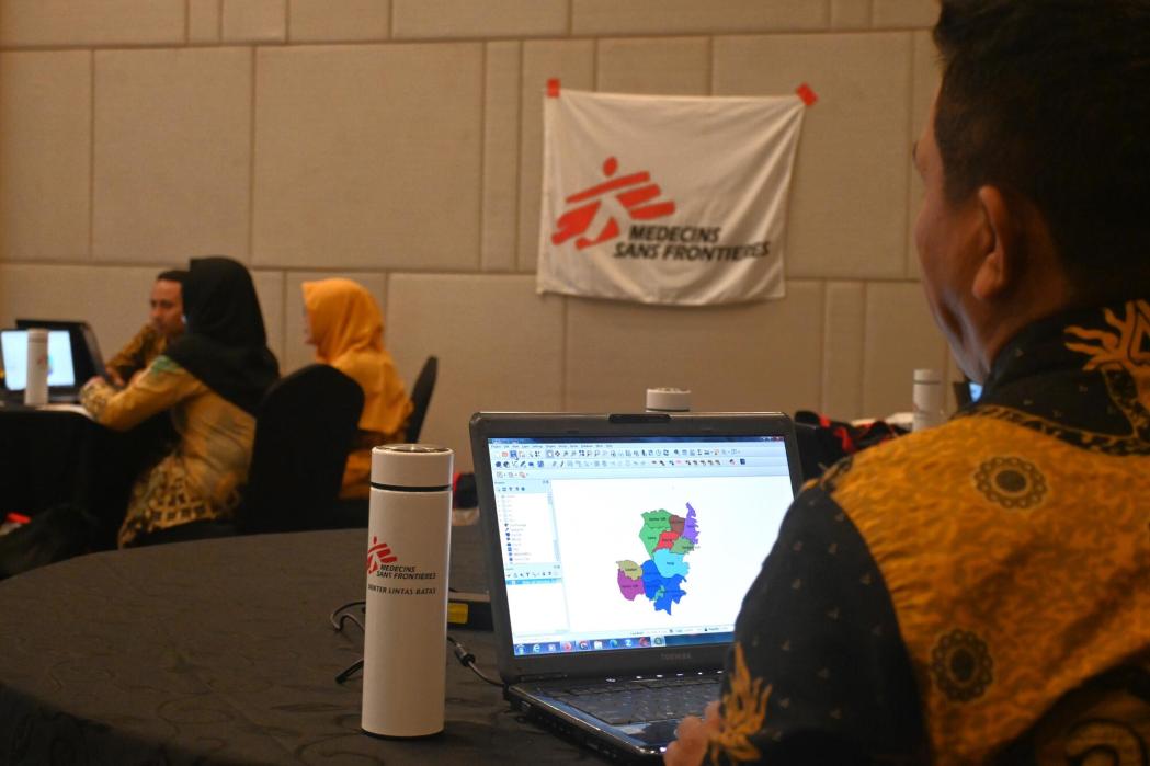
Participants in the training “Basics Geographic Information System (GIS) in emergency” develop thematic map using data collected from the field practice session. © Rizki Aulianisa/MSF
Basic Data Management Training in Emergencies
Doctors Without Borders has prepared training based on its extensive experience working in over 70 countries, including Indonesia. The response team collects data in the field using the Global Positioning System coordinate retrieval application and processes it into a map using the Geographic Information System application, which is essential for data collection capabilities in emergencies.
This training is intended to help disaster responders perform their tasks effectively without being hindered by inadequate understanding, skills or equipment. Overall, this training should increase the ability of health workers to identify and prioritise activities during a humanitarian medical intervention.
